Hiking and mountain biking in Chapelle-des-Bois
In summer everything starts on foot or by bike from the chalets: the lakes are a twenty-minute walk away, the GR 5 and the Grande Traversée du Jura run through the village, and the MTB circuits climb into the Risoux forest. For routes we send you straight to Rando Nature, the portal of the Haut-Jura Regional Nature Park, and to the GTJ and Jurassic Vélo Tours websites: detailed sheets, elevation profiles and up-to-date GPX tracks.
- GR 5and the GTJ footpath run through the village
- 31 kmthe Tour du Risoux, MTB circuit no. 33 from the village
- 20 minon foot to the lakes of Les Mortes and Bellefontaine
- 1,327 mRoche Champion viewpoint, views over Switzerland
Hiking and trail running: lakes, viewpoints and long-distance paths
About twenty waymarked walks start from the village. To begin with: the loop of the lakes of Les Mortes and Bellefontaine with the peat-bog nature trail, then the climb to the Roche Bernard and Roche Champion (1,327 m) viewpoints on the border ridge, facing the Vallée de Joux.
Long-distance walkers stop here: GR 5 and GTJ on foot (Mouthe – Chapelle-des-Bois 20 km, Foncine-le-Haut – Chapelle-des-Bois 13 km, Chapelle-des-Bois – Les Rousses 20 km), the Échappée Jurassienne and the GR 509. Guidebooks and maps are sold at the village tourist office.
- Lakes loop: flat, about two hours, suitable for all-terrain pushchairs.
- Roche Champion through the Risoux: half a day, forest then a panoramic ridge.
- Source of the Doubs at Mouthe and the Hérisson waterfalls for a day out by car.
- Picnics welcome everywhere; close the pasture gates behind you.
Hiking and trail-running routes
Rando Nature, the portal of the Haut-Jura Regional Nature Park, describes every route with its duration, elevation gain and GPX track. The GTJ publishes its stages.
-
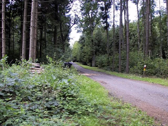 Hikes around Chapelle-des-Bois All the waymarked loops of the Park: description, duration, elevation gain, map and GPX track. randonature.parc-haut-jura.fr
 -
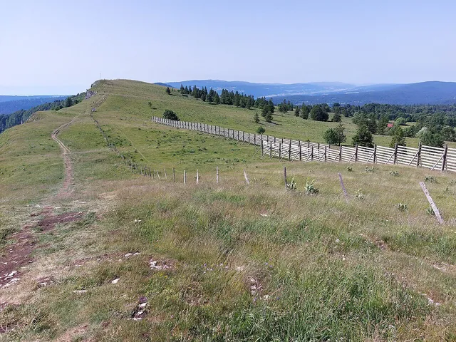 Trail-running routes The waymarked trail-running routes of the Park, from the shortest to the most demanding. randonature.parc-haut-jura.fr
 -
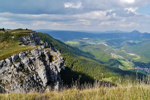 Grande Traversée du Jura on foot The stages of the GTJ footpath, which runs through the village, and the accommodation along the way. gtj.asso.fr
Cycling, mountain biking and gravel
Chapelle-des-Bois is part of the Val de Mouthe – Métabief VTT-FFC area. Circuit no. 33 “Tour du Risoux” (31 km) leaves the village via Pré Poncet and Roche Bernard before dropping back to the lakes. The Grande Traversée du Jura by mountain bike (425 km) stops here: Métabief – Chapelle-des-Bois, then Chapelle-des-Bois – Lajoux (42 km) through the Risoux and Massacre forests.
Mountain-bike rental in the village (Mont Noir Sports). Every accommodation has a bike room and a workshop stand. Road cyclists will find the Haut-Doubs passes and the Transju’Cyclo route in September.
- Waymarked VTT-FFC circuits: numbered signs, green to black levels.
- GTJ by MTB and gravel: dedicated waymarking, stages of 40 to 50 km.
- Road: the Haut-Doubs passes, Lac de Joux, Transju’Cyclo.
- Give way to walkers and close the gates behind you.
MTB, touring-bike and cycling routes
The waymarked circuits of the Haut-Jura Park, the GTJ stages and the Jurassic Vélo Tours road loops, with GPX tracks.
-
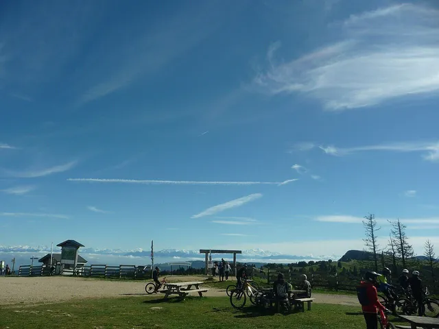 MTB and e-MTB circuits Rando Nature: the waymarked circuits of the Park with level, profile and GPX track. randonature.parc-haut-jura.fr
 -
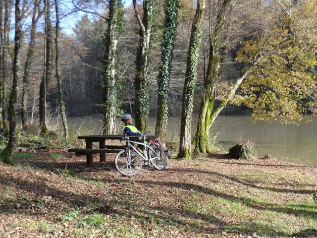 Touring-bike and e-bike rides Easier-rolling routes on small roads and tracks. randonature.parc-haut-jura.fr
 -
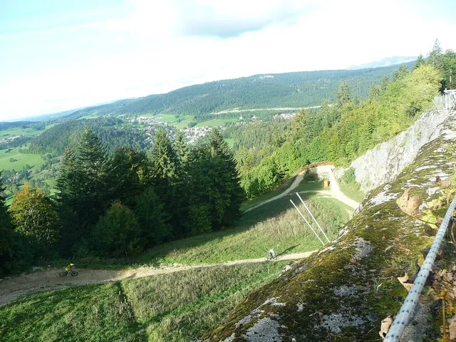 GTJ by MTB and gravel The stages of the Grande Traversée du Jura by mountain bike, including Métabief – Chapelle-des-Bois – Lajoux. gtj.asso.fr
 -
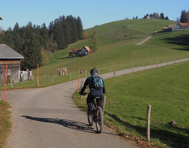 GTJ by road bike The road version of the Grande Traversée du Jura, over the passes and past the lakes. gtj.asso.fr
 -
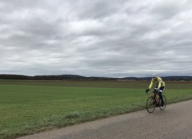 Jurassic Vélo Tours road routes Waymarked road-cycling loops of the Jura massif: passes, lakes and viewpoints (in French). jurassicvelotours.fr